Our Services
Experts in topographical assistance and geotechnical-structural monitoring, we are the ideal partner for companies moving the world with the construction of major works.
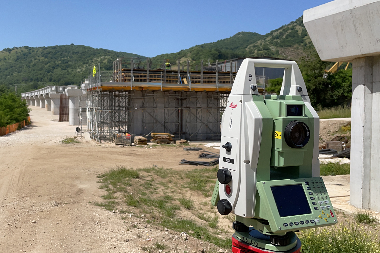
Topography
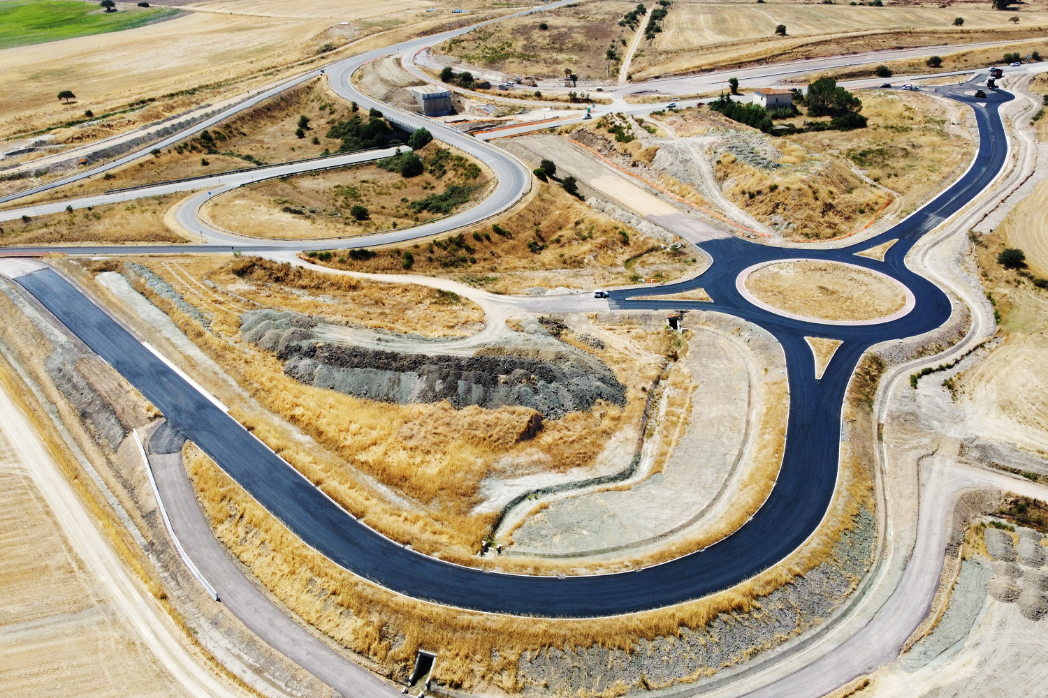
- Assistance with the design of road and rail routes
- Topographical site assistance
- Creation of topographical networks using GPS systems
- Topographical, polygonal and levelling surveys
- Surveys of railways, roads, pipelines, canals, quarries, overhead lines and landfills
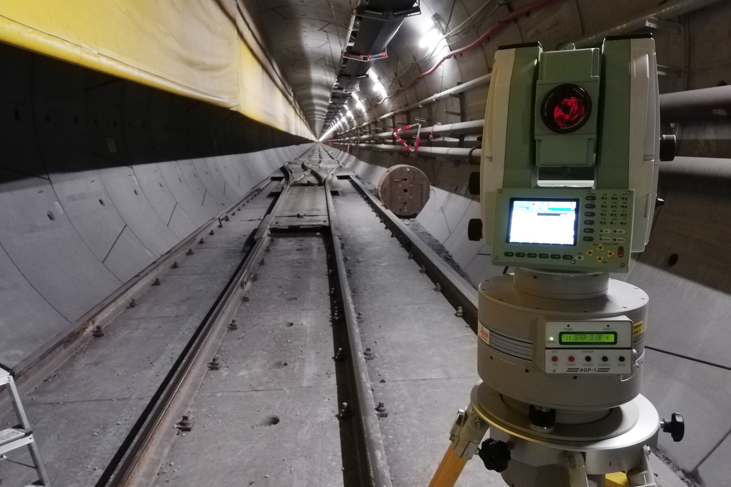
- Tunnel tracing during work phases
Expert services
- High-precision geodetic polygonals
- Continuous monitoring of tunnels under construction
- Gyroscopic measurements
- Aerial surveys using drones
- Laser Scanner surveys
- BIM restorations
Design assistance
- Graphic drawings supporting the Technical Office and the Accounting Department
- Graphic drawings supporting the Technical Office and the Accounting Department
- Platform hydraulic design
- Hydraulic systems, water treatment and lifting systems
- Fire-fighting design
- Tunnel safety in accordance with Legislative Decree 264/06
- Works accounting
State texts
- Cadastral identification of the building
- Visual surveys to collect qualitative data on the state of preservation of the property, with examination of the building’s load-bearing structure and floors
- Geometric/architectural survey
- Accurate survey of cracks
- Photographic survey with attribution of certain date
- Compilation of analysis sheets
- Return of all documentation produced in the form of a sworn expert report

Geotechnical-structural monitoring
- Topographical monitoring
- Structural monitoring of buildings and structures
- Geotechnical and hydrogeological monitoring
- Preparation of monitoring plans
- Technical assistance in the selection and sizing of the monitoring system
- Installation and configuration of instrumentation and acquisition system
- Data measurement, analysis, validation and management